Primary School Map with 1 km and 2 km Boundaries
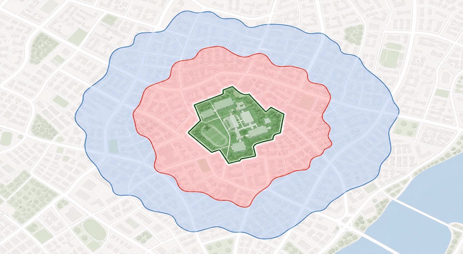
We’ve added a map view to our Primary 1 school page. Search or filter the schools as usual, then select Map.
For every school currently taking part in P1 registration, we draw its exact land boundary instead of placing a single pin. The red and blue lines then show the areas within 1 km and 2 km of that boundary.
This matters because MOE measures Home-School Distance using the shortest distance from any point on the school boundary to the building outline of the registered home address.

Select a school to see its subscription rate across the available P1 phases. If balloting was required, the map also shows the affected citizenship and distance group.
Check your exact address on OneMap
The map is designed to be a very accurate visual guide, and it’s a big improvement over measuring from a single school pin. But if your building sits near a boundary line, check your exact address using OneMap’s School Query before relying on the distance category.
MOE notes that Home-School Distance can change when building plans or school boundaries are updated. You can read the official Home-School Distance methodology and address guidance.